
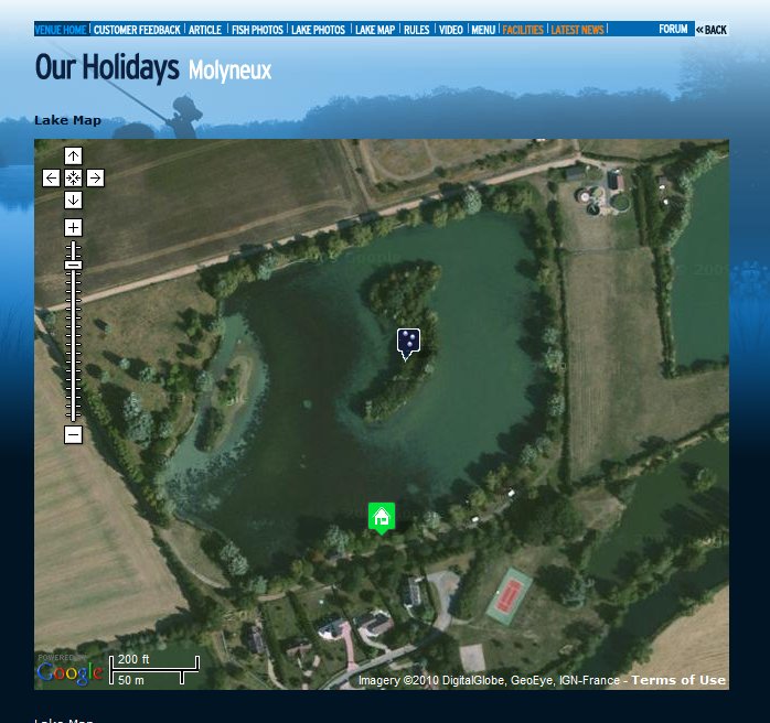
 The satellite image of Molyneux – you can zoom in even closer than this!
We’ve added a powerful new feature to our website – zoomable aerial maps.
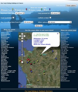
The main Our Holidays page
Courtesy of Google maps we’ve installed satellite photos of all our carp lakes. You can zoom right into the image using the “zoom slider” at the top left of the image & see amazing detail!
No longer do you have to wonder about the exact shape of the lake or which swims will benefit from a warm southerly wind that’s been forecast… it’s all there for you. You can even zoom right out & see just how far into France you’re going!
You can access the maps either from the main Our Holidays page or from the Lake Map page on your chosen venue. Give it a go!
I have to say that your website really is excellent, a lot of thought and effort has gone into it and it is very user friendly which is an important factor for those who are shall we say less confident when using a PC !